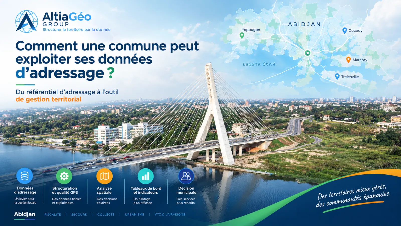
The National Addressing Programme has given Côte d'Ivoire a resource that few municipalities yet make full use of: a precise reference of who lives where, on which street, at which number. For a municipal technical department, this database is only useful if it answers concrete management questions. How many plots escape property tax, where to intervene first in the event of a fire, which neighbourhoods lack waste bins. It is this step from raw data to decision that makes the difference.
What an addressing database really contains
Behind the term "addressing", three layers of data coexist, and they do not provide the same services:
- Addresses: a number, a road, a locality, and ideally a GPS position. This is the basic building block for identifying a building or a household.
- Mapped roads: the digitised street network, essential for calculating distances, routes or service areas.
- Street-level imagery: geolocated photos that make it possible to check remotely the condition of a facade, a shop or a piece of infrastructure without travelling.
A municipality that only has an administrative base map is missing the last two layers, yet these are what make the analysis operational rather than decorative.
Six concrete uses for a municipal administration
1. Fairer tax collection
Cross-referencing the address database with tax data or service files available to the authority can help identify areas or plots that require a field check. This is not an automatic reassessment, but a prioritised list for survey agents, far more efficient than untargeted door-to-door visits.
With AltiaGeo-Group : we cross-reference your address database with the files available to bring out these areas to check, without access to confidential data outside your governance.
2. Emergency services that find the address first time
An accurately geocoded address, combined with the road network, lets emergency services calculate a real route instead of searching a neighbourhood "by sight". In dense, loosely structured areas this means minutes saved, which is often the factor that matters most for firefighters or a medical evacuation.
With AltiaGeo-Group : we identify the areas where GPS coverage is still too weak for reliable routing, and prioritise their geocoding with your emergency services.
3. Planning based on real density, not on the cadastral plan
The number of active addresses per hectare gives a much more faithful picture of land occupation than planning documents, which are often outdated in fast-growing areas. It helps prioritise the extension of networks (water, electricity, roads) where the population has actually settled.
With AltiaGeo-Group : we produce density maps by neighbourhood from your geolocated addresses, directly usable by your technical departments.
4. Optimised collection and delivery rounds
Once roads and collection points are geolocated, route calculation reduces the kilometres driven by refuse trucks or postal rounds. It is one of the few data investments whose return can be read directly in the fuel budget.
With AltiaGeo-Group : we model your rounds from the existing road network to estimate the distance saved before any change in organisation.
5. More reliable ride-hailing and deliveries
Ride-hailing and last-mile delivery services all depend on the same link: an address the driver can locate without calling the customer to ask for their location. In areas where addressing remains approximate (no visible number, unnamed road, verbal landmarks such as "after the pharmacy, the blue house"), trips get cancelled, delays grow and delivery riders lose time searching instead of riding.
A municipality does not operate these platforms, but it is the only body able to maintain the common good they depend on: road numbering, street signage, and an up-to-date, accessible address reference. Publishing or maintaining this reference, rather than letting each operator rebuild its own map of the municipality, reduces friction for all the mobility and delivery players setting up locally, and makes the municipality more attractive for these services.
With AltiaGeo-Group : we build a reliable, shareable address reference, usable both by your departments and by the private operators present in your territory.
6. Simpler citizen services
A complaint, a connection request or a declaration can be geolocated at the point of entry instead of being described in free text. The file arrives already positioned on the municipality's map, which speeds up processing and avoids back-and-forth to clarify "where exactly".
With AltiaGeo-Group : we connect your address reference to the complaint forms and management tools your departments already use.
The real challenge: quality, not just volume
243,943 recorded addresses does not mean 243,943 usable addresses. The quality of geocoding, the GPS precision of each address, varies strongly from one municipality to another, and it is this figure that determines whether a use case is already possible or still has to be built.
| Municipality | Addresses | GPS rate | Level |
|---|---|---|---|
| Marcory | 12,138 | 100.0% | Usable |
| Koumassi | 15,011 | 100.0% | Usable |
| Abobo | 20,365 | 99.7% | Usable |
| Bingerville | 24,878 | 91.7% | Usable |
| Cocody | 82,651 | 0.1% | To geocode |
| Yopougon | 59,611 | 0.0% | To geocode |
| Attécoubé | 6,037 | 0.6% | To geocode |
The gap is striking: in Marcory or Koumassi, a density analysis or a route calculation is possible today. In Cocody or Yopougon, two of Abidjan's most populous municipalities, almost all addresses exist but do not yet have a usable position. This limits every mapping use case until geocoding progresses.
How to start without rebuilding everything
There is no need to redo everything to start getting value from your data. A municipality can begin with a targeted diagnostic: measure GPS coverage, identify priority neighbourhoods, check the quality of the roads and determine the first operational uses.
From this diagnostic, deployment can be gradual: one neighbourhood, one department, one use case or one pilot territory, then an extension once the first results are validated.
This approach allows the authority to gradually turn its address reference into a management tool, without waiting for a perfect database across the whole municipality.
The AltiaGeo-Group method: four questions before any action plan
At AltiaGeo-Group, we regard addressing as a foundation of territorial data, not as a simple numbering operation. It is, moreover, the first layer of any project to digitally structure a territory. For this reason, our work can begin with a diagnostic of what exists, to answer four questions:
- Which addresses are actually geolocated?
- Are there any gaps? Where are they?
- Which neighbourhoods or facilities should be treated first?
- Which municipal departments can use this data right away?
The answers then make it possible to define an action plan suited to each municipality's level of maturity.